

8/20 - Sat - Miller Creek Trail to New Mountain Trail


My knee was still swollen when I woke up, but it looked better. I took some Aleve before I set off and took a few minutes to mentally prepare myself for the possibility of a long bushwhack. As I was expecting (and really hoping) the trail was in the saddle, farther north and lower than indicated on the map. The woods road wasn't as straightforward as I was expecting, as there were a few more that weren't on the map. I had to consider myself fortunate that every trail, road, route, and bushwhack I’d attempted so far had worked out mostly well.


After just over 6 miles, I got to the low point of the day at 8100’ on Frying Pan Road. When I reached the split to head to Harry Gates, the rancher who owned the property along the road told me to tell his horses to come home if I saw them. I said that I would. About 1.7 miles later, I found the horses and a few ran toward me. I don't know anything about horses, so l was nervous at first, but they just worked to play. The skittish ones didn't approach me, so I left them alone. I spent a few minutes petting the friendly horsies and snapping selfies with them. When I started hiking again, I told them to go home as promised I would. I was told that’s where their food is, so I’m sure they know the way.

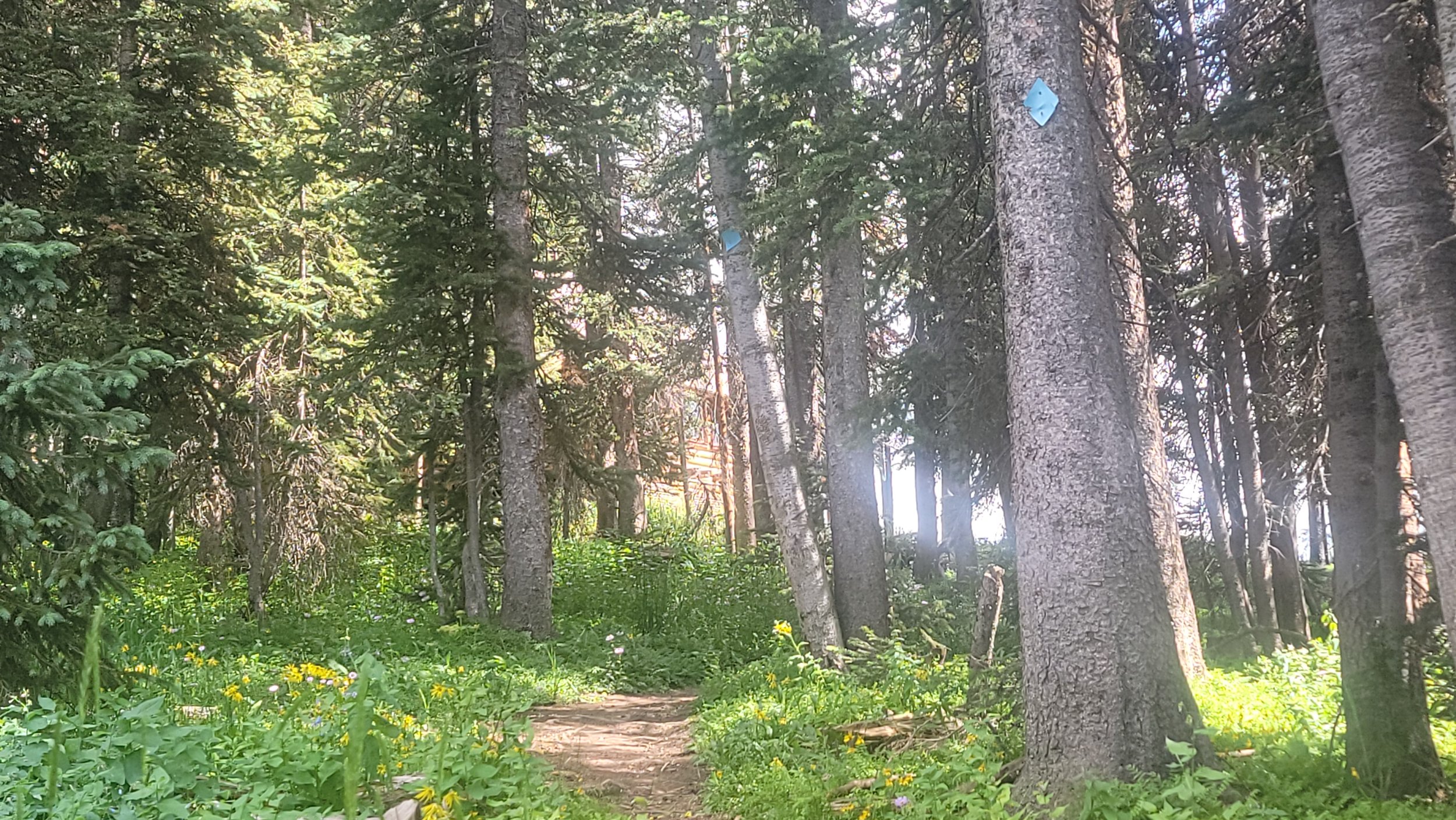
The trail became Montgomery Flats Road after another 1.8 miles and nothing exciting happened over the last 3.6 miles to Harry Gates Hut. It's the lowest elevation hut, at 9700’, so there wasn't far to go down to Crooked Creek Reservoir. I went by Slim Jim Gulch on way, then followed a path that led around some private property to what I thought would be a horse trail. It was fine for 0.1 miles, then I lost the path and wandered up the creek for another 0.1 miles. It was going incredibly poorly, so I cut uphill on very faint herd paths until I found the blue diamonds for the Little Lime Creek Ridge Route. It would add some mileage, but it existed, so it was an improvement. The route was what I had come to expect from the blue diamonds, wet and occasionally hard to follow.

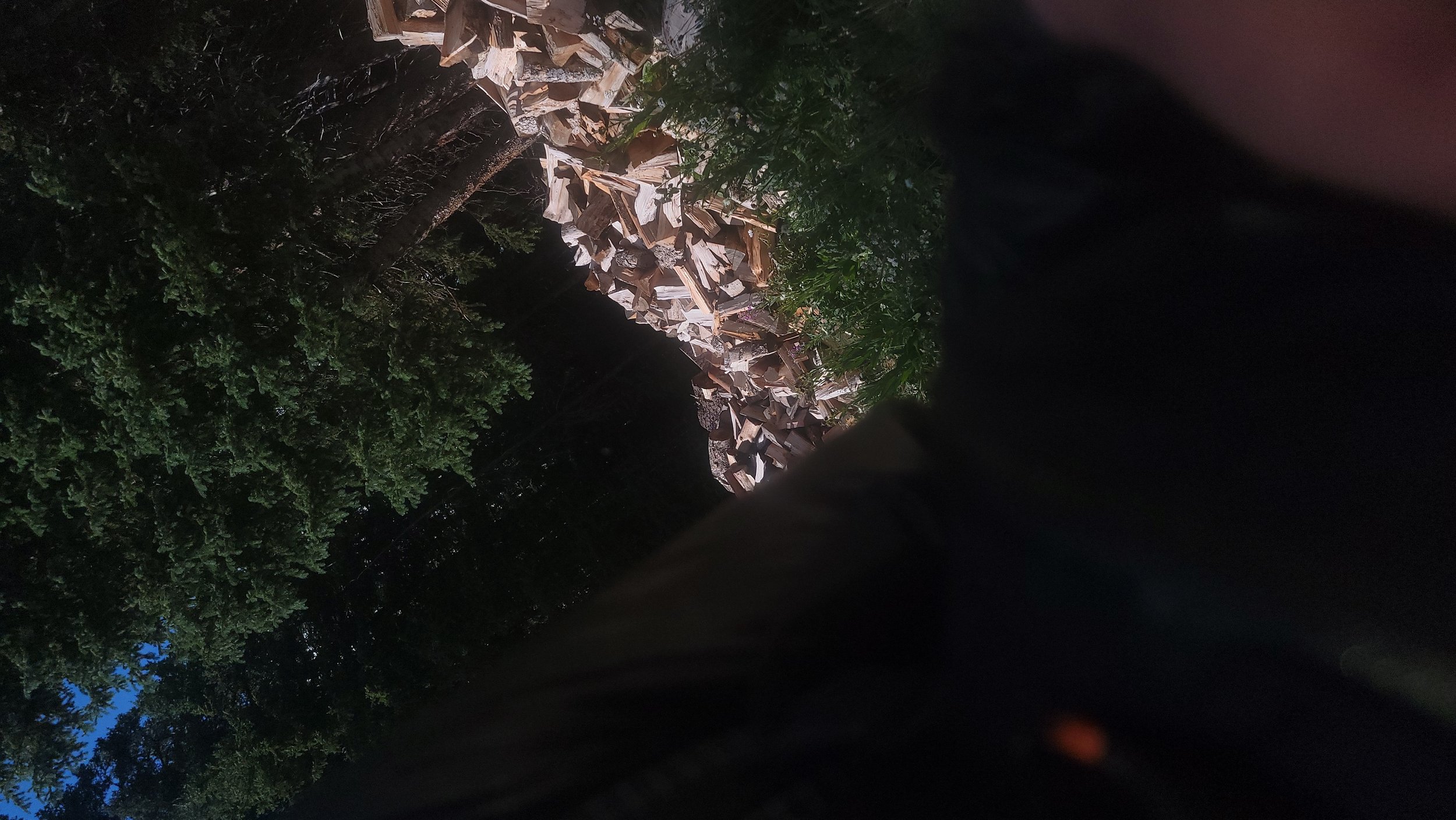
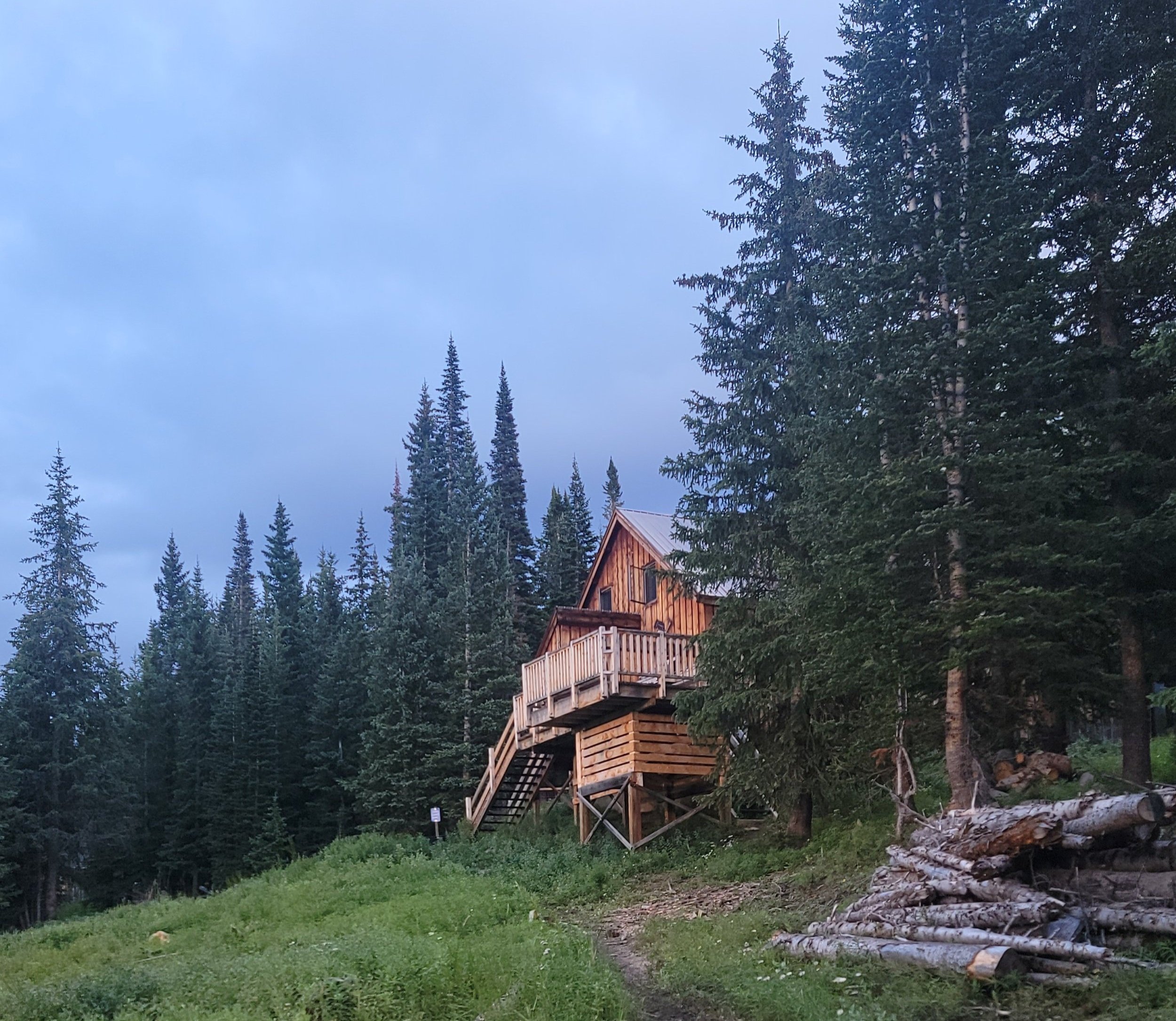
I climbed up 1400’ on the ridge over 1.8 miles to Peter Estin Hut 11,200’. I tried to snap a picture as I turned to descend on the Ironedge Trail, but I think I mostly got the wood pile and my leg. I look a picture of the sign for the hut and then went back for another bad picture of the hut through the trees. It was definitely the worst shot of a hut on the trip.
The climb hadn't been overly hard to follow or difficult, but it took a lot out of me at this point in the trip. I enjoy that you can really empty the tank during shorter trips like this and deal with any injuries after. I'd been thinking a lot about my quad for the last three days and how much it hurt with every step of my right leg. I'd been averaging close to 70,000 steps daily, so I was doing something that hurt about 35,000 times per day, which is insane.

I was glad to be heading back downhill, even though it was still uncomfortable for my quad. The Ironedge Trail was a nice descent of 1900' over ~3 miles to Fulford Campground, even if I wasn't particularly enjoying myself at the moment. I took East Brush Creek Road to get to the Newcomer Spring Trail and begin my second to last climb of the whole trip to the third/second to last huts of the whole trip. Newcomer Spring climbed moderately, gaining 1.3 miles over two giant switchbacks. I hit a road and followed the 10,200’ contour above Fulford to get to the final blue diamond route of the trip. I'd gained about 6000’ so far for the day, so I was relieved to get to the last 1000’ climb until I made camp. I went one last wrong way on the blue diamond routes when it seemed to send me to a spring and then off a cliff. Found the blue diamonds uphill shortly thereafter. It was steep for almost 500' up to New York Mountain Road, which I took for the last 0.9 mi to Polar Star Inn and Seipel Hut.

New York Mountain Road hit New York Mountain Trail, and I had a decision to make on the descent route. I could follow the 3.6 mi trail down, or bushwhack about 1.8 mi down a gully. There was about an hour of daylight left and the trail wasn't on all the maps I looked at, so I went with the short way. My plan was to try to follow the gully to connect meadows until an intermittent creek, then see if it seemed better to follow the creek down or traverse back to New York Mountain Trail. It was a lot more climbing over and under blowdowns than my quad wanted to be doing and slow going.

I hit a meadow that looked like the headwaters of a river of rock and moved faster out in the open. I slowed down again when I got back in the blowdowns in the trees. Once I hit the source of the creek and it started flowing, I was convinced to stay high and meadow hop to the trail. After another slow and painful 0.2 mi, I got into a large meadow that led to the trail. I thought the hard part was done and I guess I let my guard down because I immediately went head over heels into a briar patch when I took my first step out of the woods. I expected to be bleeding from everywhere but escaped mostly unscathed. Everything in the outer pockets of my pack got dumped into the briars while I was upside down, and picking it all out was awesome. It was only 0.2 mi to the trail once I got myself put together again. I needed my lamp within a few minutes of getting to the trail and I made it through the bushwhack, so it seemed to be the right call It was mostly dark by the time I finished the last 0.4 mi to West Lake Creek Road and found a place to camp.
